We are currently selecting our 10 co-development partners


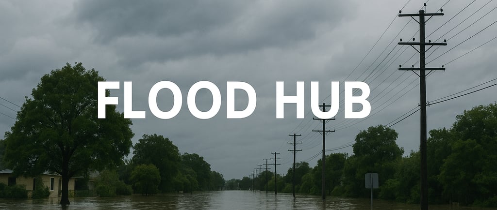
Flood Hub: A platform for anticipating floods on a global scale
Flood Hub: Anticipating Floods with AI A Technological Revolution for Natural Disaster Prevention In a world where climate change is increasing the number of extreme events, proactive flood management is becoming vital. Flood Hub, developed by Google, is establishing itself as a breakthrough tool, capable of predicting floods up to 7 days in advance using artificial intelligence. Using a simple tablet, residents and local authorities can now visualize at-risk areas, anticipate flood peaks, and coordinate their responses. With real-time data, an accessible interface, and expanding global coverage, Flood Hub is redefining the codes of early warning. In this image, a waterfront village glimpses a safer future: real-time information as the first line of defense against perils.
PERICOLOGYPÉRICOLOGIEINONDATION
Jean Bourdin
5/8/20254 min read
Floods are among the most frequent and devastating natural disasters, affecting millions of people and causing billions of dollars in damage each year. In response to the intensification of extreme weather events, Google developed Flood Hub , an early warning platform that uses artificial intelligence (AI) to predict river flooding and provide critical information to communities, governments, and humanitarian organizations. This article explores how Flood Hub works, its recent developments, real-world applications, and limitations, in clear, accessible language.
What is Flood Hub?
Flood Hub is a free online platform launched by Google in 2018 that provides real-time flood forecasts for thousands of locations worldwide. It uses AI models to analyze publicly available data, such as weather forecasts, satellite images, and river measurements, to predict flood risks up to 7 days in advance . The goal is to help people prepare, reducing human, material, and economic losses.
The platform is accessible to everyone, without fees or registration, and distributes its alerts via channels such as Google Search , Google Maps and Android notifications. It currently covers more than 100 countries , reaching approximately 700 million people living in at-risk areas.
How does Flood Hub work?
Flood Hub is based on two complementary AI models:
Hydrological model : This model estimates the volume of water flowing in a river based on meteorological data (precipitation, temperature) and watershed characteristics (topography, soil type). It predicts whether a river is at risk of flooding.
Flood model : Based on predictions from the hydrological model, this model simulates the spread of water over floodplains, using satellite images to estimate affected areas and water depth.
These models are trained on historical data and updated daily with the latest weather information. Thanks to advances in machine learning, Flood Hub can even provide forecasts in regions where local data is scarce, such as in some developing countries where river measurement stations (gauges) are few and far between.
Recent developments (2023-2025)
Since its launch, Flood Hub has undergone significant improvements, including in 2024 and 2025, to address the growing needs of flooding exacerbated by climate change. Key advances include:
Global Expansion : By 2023, Flood Hub covered 80 countries and 460 million people. By 2024, the platform had expanded to over 100 countries, including vulnerable regions in Africa, Asia-Pacific, Europe, and the Americas, reaching 700 million people. It now monitors over 5,000 sites across river basins.
Increased accuracy : AI models have been optimized with three times more training data, a new model architecture, and the integration of more robust weather forecasts. This has improved the reliability of 7-day forecasts, equivalent to the accuracy of 5-day forecasts in previous versions.
New features for experts (February 2025) :
Historical flood maps : These maps allow you to visualize risk areas in high resolution, even in the absence of an active event, helping with planning infrastructure or humanitarian operations.
Watershed View : Users can identify the best monitoring points (e.g., villages, hospitals) to track flooding trends in a river basin.
Layers Panel : This feature allows you to overlay or remove map layers (e.g., gauge data, flood zones) for more detailed analysis.
Data Access : Google has made its historical model data (since 1981) publicly available via the Google Runoff Reanalysis & Reforecast (GRRR) dataset. A Floods API is also in development to allow researchers and partners to integrate the forecasts into their own systems.
Integration and dissemination : Flood Hub alerts are increasingly integrated into Google Search and Maps, making the information accessible even to non-technical users. Partnerships with NGOs, such as the Red Cross, allow alerts to be relayed to areas without internet connectivity via community networks.
Concrete applications
Flood Hub has already demonstrated its usefulness in real-life situations:
Brazil (May 2024) : During devastating floods in the state of Rio Grande do Sul, Google collaborated with the Brazilian Geological Survey to add more than 200 new monitored locations to Flood Hub. This data helped local authorities develop evacuation plans and distribute critical resources.
Bangladesh (July 2024) : In the Jamuna River basin, the NGO GiveDirectly used Flood Hub forecasts to distribute cash aid to thousands of families before the floods, allowing them to buy groceries or reinforce their homes.
Nigeria and Kenya : The International Rescue Committee (IRC) integrated Flood Hub data to automate anticipatory actions, such as cash transfers to 3,000 households in Adamawa State, Nigeria, and to monitor forecast points in northern Kenya.
These examples show how Flood Hub is transforming forecasts into concrete actions, working with governments, NGOs and local communities.
Benefits of Flood Hub
Accessibility : Free and without registration, Flood Hub is designed to be used by everyone, from experts to ordinary citizens.
Global reach : By covering areas where traditional forecasting systems are absent, it fills a critical gap, particularly in low-income countries.
Anticipation : 7-day forecasts provide valuable time to evacuate, protect property or mobilize emergency services.
Partnerships : Collaboration with organizations like the UN, the Red Cross, and GiveDirectly amplifies the impact of the forecasts.
Limits and challenges
Despite its advances, Flood Hub has limitations:
Focus on river flooding : The platform focuses on flooding caused by river overflows, but does not yet cover flash floods or urban pluvial flooding , which are more difficult to predict.
Connectivity Dependence : While partnerships exist to deliver alerts offline, accessing the platform often requires an internet connection, which can be problematic in remote areas.
Variable accuracy : In regions with little local data, forecasts can lack granularity, although AI partially compensates for this problem.
Local adoption : Understanding and using forecasts by local communities depends on awareness and training, a challenge Google is trying to address through partnerships.
Future prospects
Google plans to continue improving Flood Hub by:
Extending coverage to other types of flooding, such as flash and urban flooding.
Improving model accuracy through new data and collaborations with meteorological centers, such as the European Centre for Medium-Range Weather Forecasts (ECMWF) .
Supporting global initiatives, such as the UN's Early Warnings for All program, which aims to provide climate warnings to everyone by 2027.
Meanwhile, Google is exploring similar applications for other disasters, such as wildfires, using comparable technologies based on AI and satellite imagery.
Conclusion
Flood Hub represents a significant step forward in the fight against flooding, combining artificial intelligence, public data, and accessible outreach to save lives and reduce damage. With its global coverage, continuous improvements, and strategic partnerships, the platform plays a key role in climate resilience. However, more work is needed to include other types of flooding and ensure warnings reach the most isolated communities. In the meantime, Flood Hub remains a valuable tool for anticipating and responding to one of the greatest climate challenges of our time.
For more information, visit Flood Hub: Flood Forecasting Research.
Jean Bourdin, Founder of Pericology 2025, © all rights reserved
For enthusiasts
Our links
© 2025. All rights reserved. By Pericology
Privacy Policy. 2025
Terms and Conditions. 2025
Contact :